The spatial backend built for the AI era.
A fully managed, AI-native platform for geospatial content. Your editors manage map data without code. Your developers deliver it through fast, cacheable APIs. AI automates the work in between.
Editors, developers and AI agents work from the same source of truth.
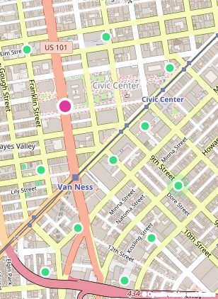
Manage places and content without code
Add points, lines and areas on the map, then enrich them with text, images and files. Draft changes safely, then publish when ready.
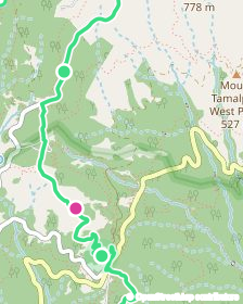
Build map apps without a backend
A stable API, GeoJSON and vector tiles serve your published content straight to your apps. Nothing to run, and the data is always up to date.
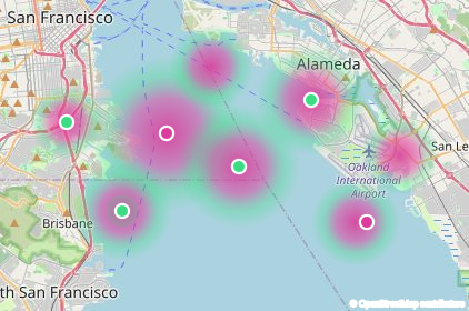
Let agents work with your data
Agents can query your data and make edits through MCP. Every change lands as a draft for an editor to review.
From raw data to live maps in four steps.
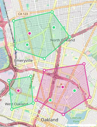
Start and model the data once: the kinds of places and the fields each one has. Editors add content by importing it or drawing on the map, then publish it for your apps to consume through a cacheable API and vector tiles. Put AI agents to work to query and edit your data, with every change landing as a draft for editors to review.
An AI teammate for your map data.
Spatibase AI reads your data model, cleans and enriches entries, and answers questions about your places. You review the changes, then publish.
Published content, ready to consume.
Cached, ETag-aware and CORS-enabled. Use JSON, GeoJSON or Mapbox vector tiles with the map library you already use.
- JSON, GeoJSON and vector tiles
- Draft and published are separate
- Works with MapLibre, Mapbox, QGIS, ArcGIS
{
  "type": "FeatureCollection",
  "features": [{
    "type": "Feature",
    "geometry": { "type": "Point",
      "coordinates": [-122.41, 37.77] },
    "properties": {
      "name": "Ocean Beach",
      "type": "beach"
    }
  }]
} Questions, answered.
What is Spatibase?
Spatibase is a headless CMS for geospatial content. Editors manage points, lines and areas on a map without code, and developers get a cacheable API that serves published content as JSON, GeoJSON and vector tiles, so they can build map apps without running a backend.
How is it different from a general headless CMS such as Strapi or Contentful?
Locations are first-class. Entries have real geometries, editors work on a map, and the platform publishes GeoJSON and vector tiles out of the box, instead of storing coordinates as plain text fields.
How is it different from a GIS or a map platform such as Mapbox or ArcGIS?
Spatibase manages the content behind your map: the places, their fields, media and the editorial workflow. You keep using the map library or GIS you already have, such as MapLibre, Mapbox GL or QGIS, to render it.
Do I need to build a backend for my map app?
No. Published content is served directly by the Delivery API, which is cacheable and always up to date, so your app reads the data without a server of its own.
Can AI agents edit my data?
Yes, through MCP. Agents can query your schema and content and propose edits. Every change lands as a draft for an editor to review, nothing is published automatically, and each change is recorded in the audit log.
Which formats can I import and deliver?
Import GeoJSON, CSV and TSV, and upload GPX and KML shapes. Deliver JSON, GeoJSON and Mapbox Vector Tiles with TileJSON.
Built for organizations.
Single sign-on, roles, audit logging and support to match how your team works. Run it managed, on dedicated infrastructure, or self-hosted in your own cloud.

Build your spatial backend
Start free, or talk to us about your organization.